
Below is a sample of some of the fields included in this GIS file. These columns can be visualized in QGIS, Power BI, Leaflet, and other mapping or analytics tools supporting GeoJSON.
| Field Name | Sample Data |
|---|---|
| CNTR_ID | RO, SK, TR |
| PCodeArea | 4, 4, 4 |
| PC_CALC | RO_04, SK_04, TR_04 |
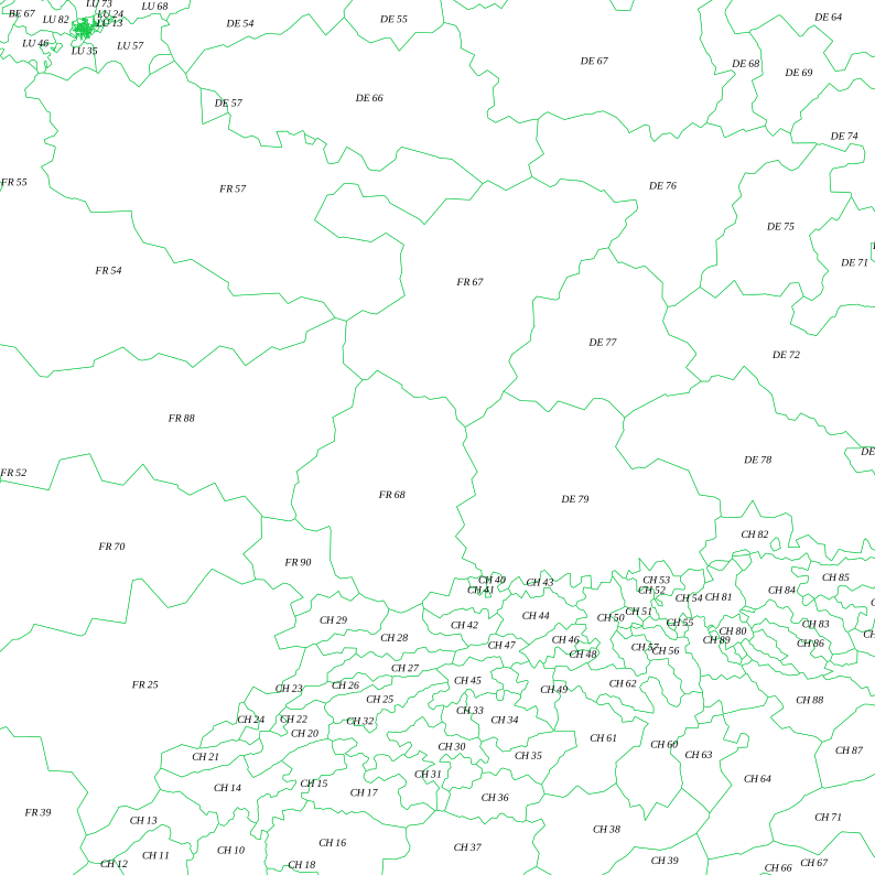
Comprehensive European postcode boundary dataset, enabling geographic analysis across multiple EU nations.
We strive to provide universally compatible GeoJSON files, but sometimes a mapping application may require a specific coordinate reference system (projection) or particular data fields. If your file doesn't load or display as expected, please get in touch. We can reproject the file, add additional data columns to the polygons, or even develop a custom mapping tool—whether simple or complex—to ensure your data visualizes correctly. We won't rest until everything works just the way you need!
Access detailed healthcare boundary files, including Integrated Care Boards and NHS Trusts, ideal for healthcare analysis and regional planning.
Ideal for regional governance projects, demographic analysis, and service planning across various administrative levels.
Gain valuable insights by visualizing postcode areas, districts, and sectors for logistical, marketing, or service-delivery projects.
Perfect for electoral analysis, community-level planning, or broad regional studies across the UK.
High-resolution Eircode and county boundaries for detailed mapping and planning within the Republic of Ireland.
Specialty boundaries for unique administrative regions or public service areas, such as police or ambulance jurisdictions.
From country outlines to postal regions, our European boundaries support international business and cross-border analytics.
Popular US boundary files including ZIP codes, counties, and state lines, suitable for commercial, marketing, or demographic use.
Global country outlines for international mapping initiatives, research, and worldwide data visualization.